
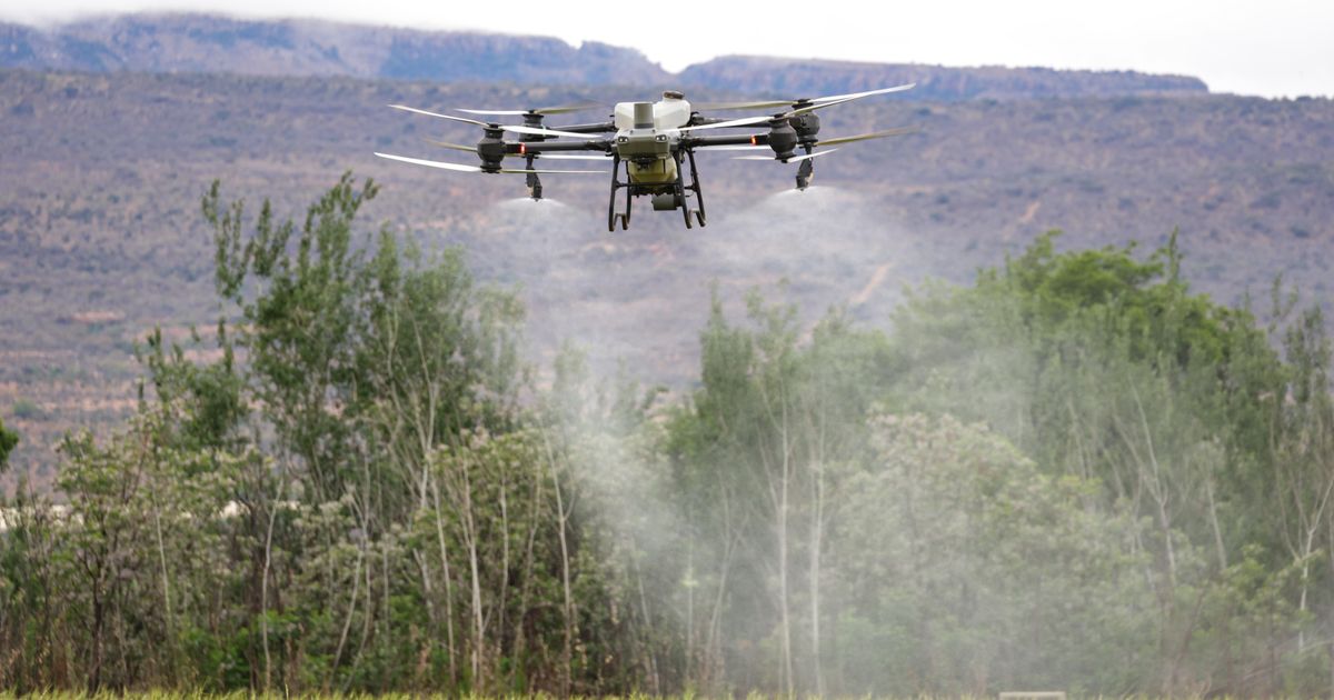
Weather-Indexed Insurance: Protecting Mozambican Farmers from Climate Shocks
Weather-indexed insurance provides a financial safety net for farmers by automatically issuing payouts when specific climate thresholds are breached. By utilizing satellite data and mobile money platforms like M-Pesa, this system removes the need for physical farm assessments, allowing rural households to recover quickly after climate events like cyclones and droughts.
What Is Weather-Indexed Crop Insurance?
Traditional insurance requires an adjustor to visit your farm, assess the damage, and approve a payout. In rural Mozambique, this is often impossible due to the high number of farms, challenging infrastructure, and a lack of available adjustors in remote regions.
Weather-indexed insurance solves this through a streamlined technological process:
- A weather station or satellite monitors rainfall in your specific area.
- If rainfall falls below a threshold (drought) or exceeds a threshold (flood), the insurance system triggers a payout automatically.
- No farm visit needed — the objective environmental data serves as the proof of loss.
- Payout arrives via M-Pesa directly to the farmer within a week.
- No paperwork, no adjustors, no delays for the vulnerable agricultural community.
How It Works in Practice
The Rainfall Threshold Model
For maize cultivation in Manica Province, specific models can be applied:
- Optimal rainfall: 600-900mm during the growing season (Oct-Mar).
- Drought trigger: Below 400mm results in an automatic payout.
- Flood trigger: Above 1,400mm results in an automatic payout.
- Normal range: 400-1,400mm maintains status quo with no payout.
Farmers and providers can choose their coverage level based on specific needs:
- Basic: Covers total crop failure (drought below 300mm or flood above 1,600mm).
- Standard: Covers severe loss (drought below 400mm or flood above 1,400mm).
- Premium: Covers moderate loss (drought below 500mm or flood above 1,200mm).
NDVI-Based Insurance (Satellite Monitoring)
Advanced agricultural research explores using satellite NDVI (Normalized Difference Vegetation Index) data as an additional trigger for crop health assessment:
- NDVI below 0.3 for 14 consecutive days serves as a crop stress trigger.
- NDVI below 0.2 for 7 consecutive days serves as a crop failure trigger.
- Satellite data is objective, publicly available, and covers every farm in Mozambique, providing a vision for future-proof agricultural monitoring.
The M-Pesa Payout
When a trigger is confirmed, the process is designed for speed:
- Satellite or weather data confirms the specific threshold was crossed.
- The insurance provider approves the automatic payout based on the data verification.
- M-Pesa sends money directly to the farmer's registered phone number.
- Farmer receives an SMS: "Your crop insurance payout has been processed to your M-Pesa account."
- Total time: Usually 5-7 days from the initial data trigger to the receipt of funds.
Why Most Mozambican Farmers Don't Have Insurance
Problem 1: No Trust
Historically, many farmers have been wary of insurance schemes that failed to pay out. Weather-indexed insurance aims to fix this through transparent, verifiable, and automatic triggers that eliminate human bias.
Problem 2: Too Expensive
Traditional crop insurance can be costly, often reaching 8-15% of the insured value. Weather-indexed models are projected to be more affordable, typically costing 3-7% because the heavy overhead of manual claim adjustments is removed.
Problem 3: No Distribution
Insurance companies often struggle to reach rural areas. The combination of M-Pesa and mobile phone penetration solves this by allowing every farmer with a phone to register and receive support regardless of distance.
Problem 4: No Weather Data
Previously, Mozambique lacked sufficient local weather stations. Now, global satellite systems and platforms like Mozambique Weather Forecasting for Farmers provide coverage for every square kilometer of land.
The Economics of Weather-Indexed Insurance
Example: Maize farmer in Zambézia, 1 hectare
| Item | Amount (MZN) | Amount (USD) |
|---|---|---|
| Expected harvest value | 30,000 | $470 |
| Insurance premium (5%) | 1,500 | $24 |
| Potential payout (drought) | 25,000 | $394 |
| Potential payout (flood) | 25,000 | $394 |
Cost-benefit analysis: For a $24 premium, the farmer protects $394 of expected harvest value. If a drought occurs, receiving $394 via M-Pesa provides enough liquidity to buy essential food and resources for the following season.
The Nature of Mozambican Agricultural Land
Land rights (DUAT), community mapping, soil, water, erosion and regeneration. Read the DUAT chapter and five soil tests free.
PDF ebook, instant download. $5 of every copy buys seed for a farmer.
Climate Risks by Province
| Province | Primary Risk | Secondary Risk | Insurance Priority |
|---|---|---|---|
| Cabo Delgado | Cyclones | Drought | Critical |
| Nampula | Drought | Floods | Critical |
| Zambézia | Floods | Cyclones | Critical |
| Tete | Drought | — | High |
| Manica | Drought | Floods | High |
| Sofala | Cyclones | Floods | Critical |
| Gaza | Drought | — | Critical |
| Maputo | Drought | Floods | Medium |
How to Enroll in Weather-Indexed Insurance
Through Cooperatives:
-
Cooperative enrolls all members as a group
-
Group premium is lower (3-4% instead of 5-7%)
-
All members covered under the same weather station/satellite grid
-
Payouts go to individual M-Pesa accounts
The Future: Parametric Insurance + NDVI + IoT
Research explores the next generation of agricultural insurance potential:
-
Sentinel-2 satellite NDVI — 10-meter resolution, updated every 5 days
-
IoT soil moisture sensors — real-time ground truth data
-
CHIRPS rainfall data — daily precipitation at 5km resolution
-
Machine learning — predictive models that warn farmers before crops fail
This technology-forward research aims for insurance that is:
-
Transparent (farmers could see their NDVI score)
-
Fair (satellite data is objective)
-
Fast (automated payouts in 7 days)
-
Affordable (3-7% of crop value)
-
Accessible (enroll via M-Pesa, no paperwork)
Versão Portuguesa
Seguro Indexado ao Clima: Protegendo Agricultores Moçambicanos de Choques Climáticos
O ciclone Idai (2019) causou $3 mil milhões em danos. O ciclone Freddy (2023) destruiu 500.000 hectares de culturas. Moçambique é um dos países mais vulneráveis ao clima — e os agricultores suportam o pior.
O Que É o Seguro Indexado ao Clima?
O seguro tradicional requer um avaliador que visite a sua machamba. Em Moçambique rural, isto é muitas vezes um desafio logístico.
O seguro indexado ao clima resolve isto:
-
Uma estação meteorológica ou satélite monitoriza a chuva na sua área
-
Se a chuva cai abaixo de um limite (seca) ou excede um limite (inundação), o sistema dispara automaticamente
-
Sem visita à machamba — os dados acionam o pagamento
-
O pagamento chega via M-Pesa em 7 dias
-
Sem papéis, sem avaliadores, sem atrasos
Como Funciona na Prática
Modelo de Limite de Chuva para Milho em Manica:
-
Chuva ótima: 600-900mm (Out-Mar)
-
Acionamento de seca: Abaixo de 400mm → pagamento automático
-
Acionamento de inundação: Acima de 1.400mm → pagamento automático
-
Intervalo normal: 400-1.400mm → sem pagamento
Seguro Baseado em NDVI (Monitorização por Satélite)
Dados NDVI de satélite servem como acionamento adicional:
-
NDVI abaixo de 0,3 por 14 dias consecutivos = stress da cultura
-
NDVI abaixo de 0,2 por 7 dias consecutivos = falha da cultura
-
Dados de satélite são objetivos e cobrem cada machamba em Moçambique
O Pagamento M-Pesa
Quando um acionamento é atingido:
-
Dados de satélite/clima confirmam que o limite foi ultrapassado
-
A seguradora aprova o pagamento automático
-
M-Pesa envia dinheiro para o número de telefone registado
-
O agricultor recebe SMS: "O seu pagamento de seguro agrícola de 8.500 MZN foi enviado para a sua conta M-Pesa"
-
Tempo total: 5-7 dias do acionamento ao pagamento
Economia do Seguro Indexado ao Clima
Exemplo: Agricultor de milho em Zambézia, 1 hectare
-
Valor esperado da colheita: 30.000 MZN ($470)
-
Prémio de seguro (5%): 1.500 MZN ($24)
-
Pagamento potencial (seca): 25.000 MZN ($394)
Por $24, o agricultor protege $394 do valor esperado da colheita.
Implications for the Smallholder Farmer's Season
For a smallholder farmer in Mozambique, climate uncertainty is the primary risk during the planting season. With indexed insurance, the focus shifts from fearing total crop loss due to floods or droughts to having a predictable safety net. By relying on objective satellite data and automated M-Pesa payouts, the farmer can secure their inputs and sustain their livelihood even when weather patterns fluctuate outside of the normal range.
Related guide: Climate-smart agriculture in Mozambique: 6 technologies helping farmers beat drought, floods and cyclones
Frequently asked questions
Q: What is parametric insurance? A: It is a type of insurance that makes payments based on an index, such as rainfall levels or satellite vegetation data, rather than evaluating individual losses on the ground.
Q: How does satellite data impact insurance? A: Satellites monitor indices like NDVI, which measure plant health; this provides objective, tamper-proof data that can trigger automated insurance payouts when crops are under stress.
Q: Why is M-Pesa important for rural insurance? A: M-Pesa allows for rapid, secure, and direct financial transfers to rural farmers, which is essential for the 5-7 day payout timeline required for effective climate protection.
Maputo Bridge Capital, founded by Anselmo Boaventura in Fort Worth, Texas, works with the COJAZ cooperative in Zambezia to connect sponsors with verified smallholder farmers. A sponsor gives from $25, which goes directly to the farmer's local seed and fertilizer shop; 92% supports the farmer, while 8% covers verification. Sponsorships are gifts, not investments, and are not tax-deductible. You can sponsor a farmer here to support their next season.